We provide Museum Quality Archival Prints on various materials. If not indicated, the average image size of the reproduction will be 20x26 inches.
You are encouraged to call our production specialists to discuss other sizes and framing selections.

Free Shipping within the continental United States. Unframed prints ship within a week and framed print orders ship within two weeks.
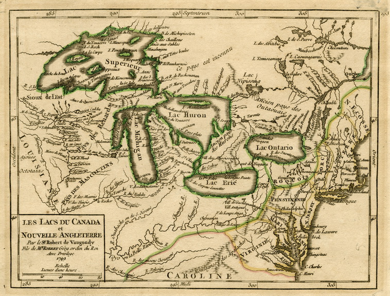
Les Lacs du Canada et Nouvelle Angleterre
[The Lakes of Canada and New England]

Enlarge Image
 
Les Lacs du Canada et Nouvelle Angleterre [The Lakes of Canada and New England]
Robert de Vaugondy
Acquisition Number: 1957.086.002
Original work:
Original size: 9.5 by 11 inches

Map entitled ”Les Lacs du Canada et Nouvelle Angleterre” by Robert de Vaugondy and is dated 1749. The map is printed in French in black text on slightly yellowed woven paper. It shows the major lakes and rivers of the Great Lakes and New England regions of North America as well as the main towns and forts. The Great Lakes are outlined in light green lines and the New England states are delineated in light yellow and pink lines. The map title and scale are shown in a box in the lower left corner. Lines of latitude and longitude are labeled along the perimeter of the map area.

Reproduction Size: 20 x 26.5